|
Sometimes the most interesting but unknown places are hidden within plain sight. That is certainly true of Albuquerque's Chainsaw Sculpture Garden. Located off Montano, just east of Coors Blvd, the sculpture garden is one of the trailheads for the Paseo del Bosque hiking system. It includes picnic tables and a public restroom. The address is 4100 Montaño Rd NW, Albuquerque, NM 87120. The story of how this sculpture garden came to be is an interesting one. In 2003, some teenagers were playing with fireworks when they inadvertently sparked a wildfire in the bosque. The fire spread to over 250 acres and damaged a lot of land and trails along the riverfront. One of the firefighter who helped to put out the blazes was named Mark Chavez. Chaves is a chainsaw artist in his free time, and thought that turning the charred cottonwood trunks into sculpture honors both the natural beauty of the Southwest and the fire itself. One of the sculptures depicts an eagle rising like a phoenix from the flames.k Another shows a firefighter, perhaps a self-portrait (?) standing upon a slain dragon. This is more significant if you know that the word “dragon” is what being firemen call especially bad fires. There are also sculptures of coyotes, beavers, fish, turtles, roadrunners and cranes, all animals who live in the area. And to remind children to stay out of arroyos, there's a sculpture of La Llorona, the legendary ghost/witch who drowns children who go where they shouldn't, unless a firefighter or other hero rescues them. If visiting the sculpture garden is not enough, you can continue your adventure with a walk along the Paseo del Bosque trail, a 16-mile multi-use trail that runs through the cottonwood forest that follows the banks of the Rio Grande.  When she's not hiking, Jennifer Bohnhoff is writing. The author of over a dozen books, many of which are historical fiction for middle grade readers through adults, Bohnhoff lives in the mountains east of Albuquerque. You can read more about her and her books on her website.
0 Comments
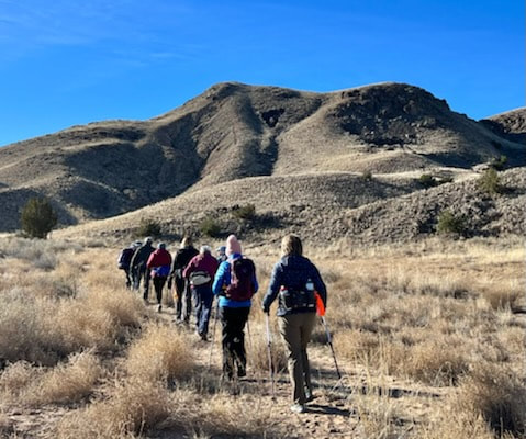
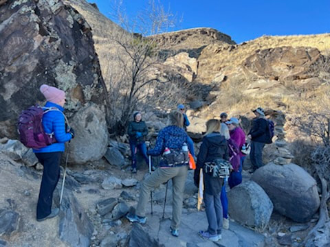
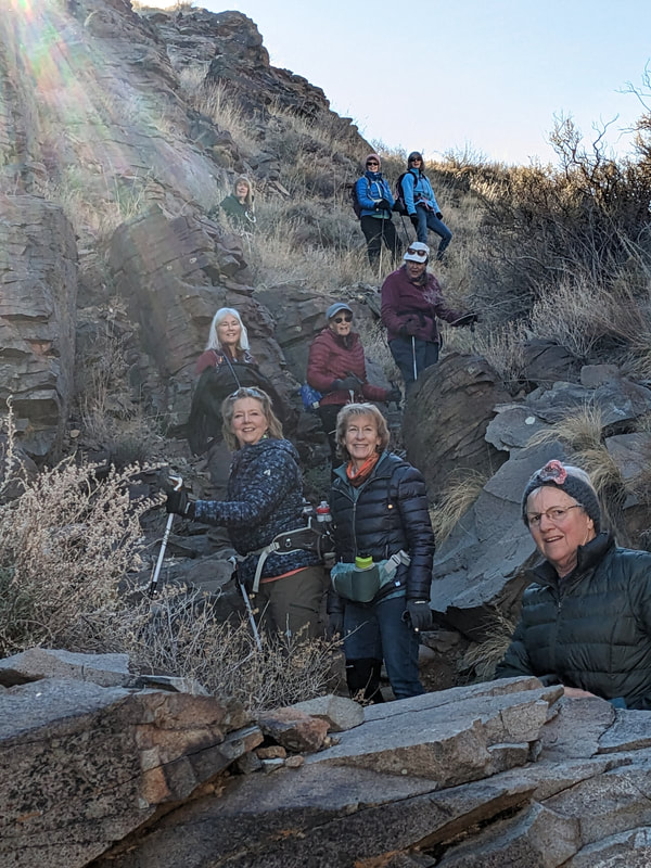
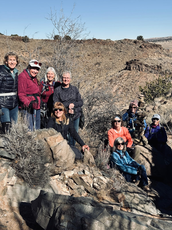
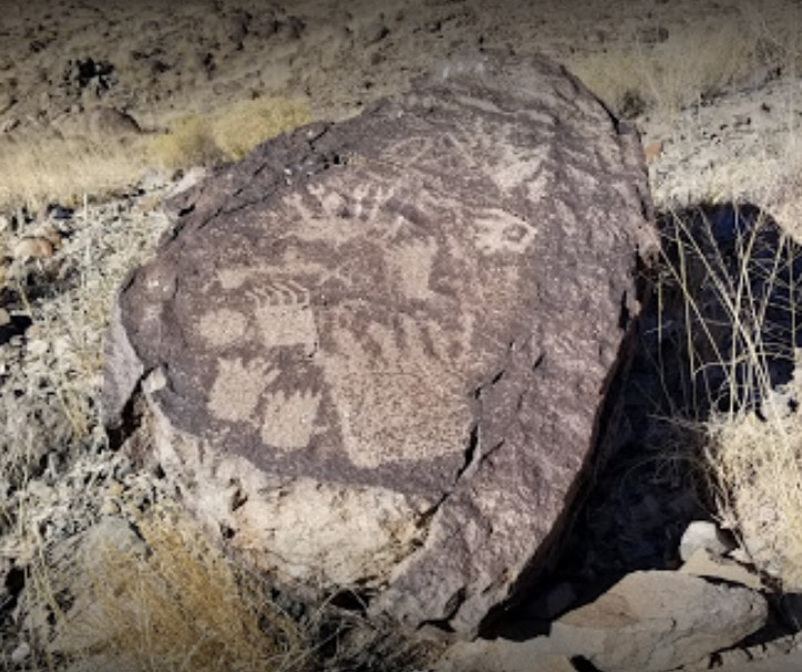
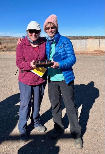
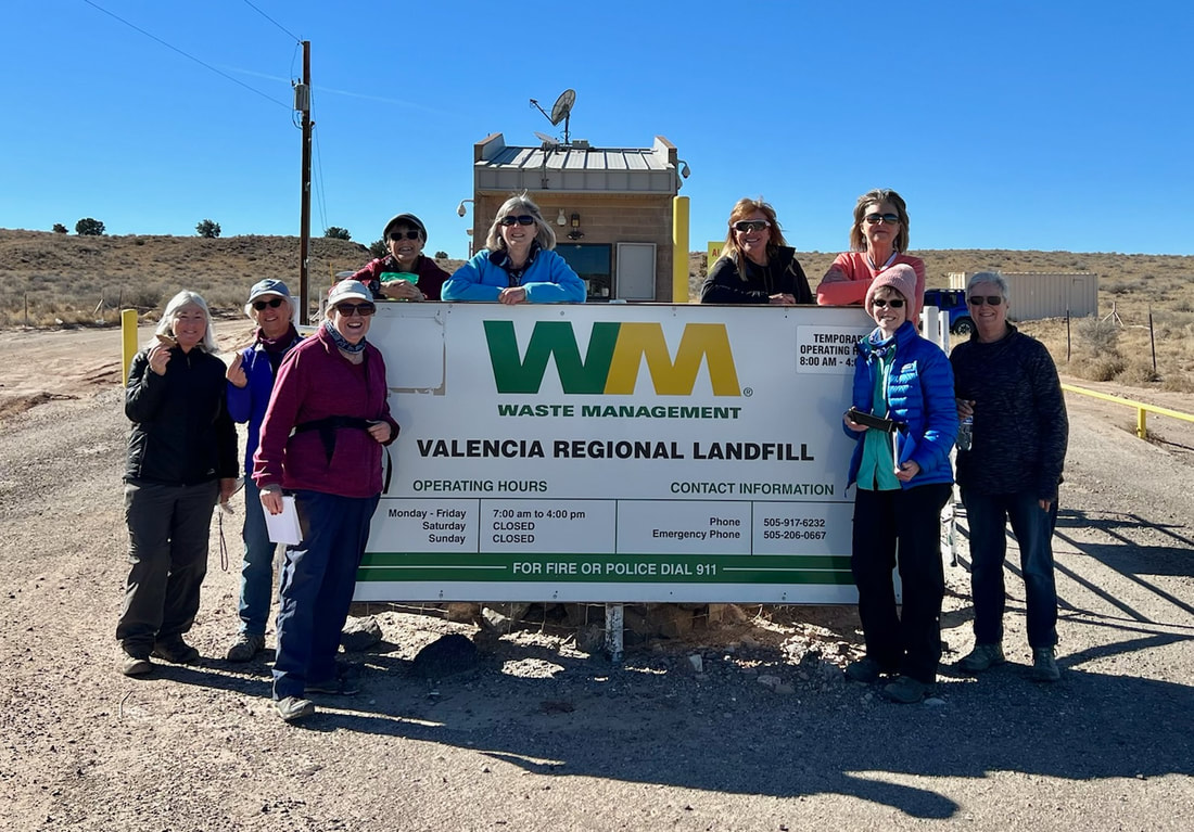
I am blessed to be in a women's hiking group. We meet once a week and go a lot of interesting places. Since we all live in the greater Albuquerque area, most of or hikes are in or around the Sandia Mountains, the mountains that are in the background of this blog's header. Right now, most of our favorite trails are under a foot or more of snow. While we do use snowshoes on occasion, often we use the snowy season to go other places. One of the places we hiked this month was to see the Phoenician Stone, which is sometimes called the Decalogue Stone. Located at the base of a basalt- covered uplift about 35 miles southwest of Albuquerque and 15 miles west of Los Lunas, it is off the beaten track but well worth seeing if you are into curiosities and strange stories. 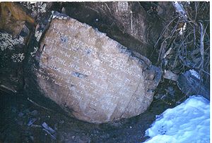 The Decalogue Stone was first mentioned by Frank Hibben (1910-2002), who was then an archaeology professor at the University of New Mexico. Hibben claimed that he was taken to the site in 1933, guided by a man who said he'd seen the stone as a boy back in the 1880s. Hibben was convinced that the inscription was ancient, and thus authentic. Some scholars have said that the writing is ancient Hebrew and is of the ten commandments, which is why it is sometimes called the Decalogue Stone. Others have announced that the writing is Phoenician and is an account of a shipwrecked sailor wandering in the desert. It's also been called Mystery Rock and the Los Lunas Inscription Stone. Some believe that it is a forgery created by members of the Mormon Battalion, who came through New Mexico during the Mexican–American War of 1846–1848. Others believe that Hibben or a couple of his graduate assistants created the stone. And, like most strange things in New Mexico, others suppose it is a record of aliens from outer space. Whatever its provenance, going to see it was a great thing to do on a cold, January day! We left our cars outside the Valencia County Landfill and hiked in over a dirt ranch road until we got to the base of Hidden Mountain, where we turned and walked up a ravine until we got to the stone. In the picture below, the stone is on the left, right in front of the woman on the far left. The stone may be a hoax, but what's on the top of Hidden Mountain isn't. After a scramble up a ravine, we arrived on top, where we found a lot of petroglyphs and the ruins of an ancient settlement that might have been part of a string of look-out and way stations along an ancient trail from the Rio Grande to Acoma Pueblo. Also in the area is the Franklin Pottery Mound, where a large diversity of ancient pottery has been unearthed. Both the mound and the ruins are believed to be from between 1350 and 1500. It's pretty obvious why this site would be chosen as a look-out. The views were spectacular in all four directions. We even saw a small herd of deer (although some of us thought they were pronghorns) down below. There's something wonderful and a bit eerie about being in a place that was occupied hundreds of years ago. It makes me wonder what life might have been like back then. What did the people who lived there feel as they stood on the edge and looked out over the vastness? After we'd walked the whole upper portion, we went back down the ravine and had a little celebration. Two of us (including yours truly) had birthdays to celebrate. Jennifer Bohnhoff lives in the mountains of central New Mexico. She has written a number of novels for middle grade through adult readers and has two titles that will be published in 2023. Click here to join her email list and receive information about her books.
 All pictures (with the exception of the live crinoid) by Heather Patrick. All pictures (with the exception of the live crinoid) by Heather Patrick. Last week I got a chance to hike with my sister Heather in the Sacramento Mountains, east of Alamogordo, New Mexico. Alamogordo is 200 miles south of my home, and its season is weeks ahead; while it is still cold and snowy in my Sandias, the Sacramentos were balmy. The sky was blue, the birds sang, the sweeping vistas spectacular, but what really made the hike memorable is that it was a walk through time that stretched way, way back. It's hard to envision now, but this arid land was once very different. Between 358 and 323 million years ago, it was part of a vast ocean. Much of the limestone in the Sacramentos is studded with fossils that prove that the area was underwater. I saw lots of shells and shell imprints, but especially prevalent were the fossilized stems of crinoids, which look like stacked rock coins. Although they look like little palm trees, crinoids are animals, not plants. They are still alive today, but they are hard to see since they live at great depths.  Looking west, we could see straight across the Tularosa Basin to the San Andreas mountains, about 60 miles away. Once, these two mountain ranges were contiguous. The land in between has dropped. Can you see the white line that seems to extend from the bill of my cap? That's the gypsum sands at White Sands National Monument.  Moving up the trail brought us forward in time. While walking along an arroyo, we saw these pock marked rocks. Although these were the only ones I saw on the hike, my sister tells me there are many of these in the area, and they are not naturally formed. Because water tends to collect in them, these depressions are called Indian wells. (The parking lot at the trail head is at the end of Indian Wells Road.) A sign at Oliver Lee State Park, which is not far south of this trail, explains that these depressions weren't originally used for collecting water. Instead, they mark places where Indians ground up nuts and grains ground up. They are more like mortars than wells. Farther up the trail, in a narrow side canyon, we came upon something that I've never seen in a mountainous desert setting before: cattails. The cattails were in front of a cave that my sister tells me is a spring visited by Indians since time immemorial. There was about a foot of standing water in the cave, which seemed to stretch far into the mountain. This water source, so valuable in the arid southwest, has obviously been used by more modern man; on our way down the canyon we saw several lengths of rusted pipe and the derelict remains of an old water tower.  It was a lovely hike on a lovely day, and it was a reminder that there is interesting things to looks at wherever you go. History and geology, archaeology and botany are right under your feet, and beneath them, if you use your imagination, are story prompts enough to last a long, long while.  Jennifer Bohnhoff is a writer and hiker who lives in central New Mexico. Click here if you want to learn more about the geology of the Sacramento Mountains. Click here if you want to learn more about Jennifer and her books. |
Don't see what you're looking for?
I am in the process of moving all my blog entries to a different blog site. Eventually, this page will go away. If you're looking for something and it's not here, try my new site, or email me and suggest I write a blog on the topic you are interested in. 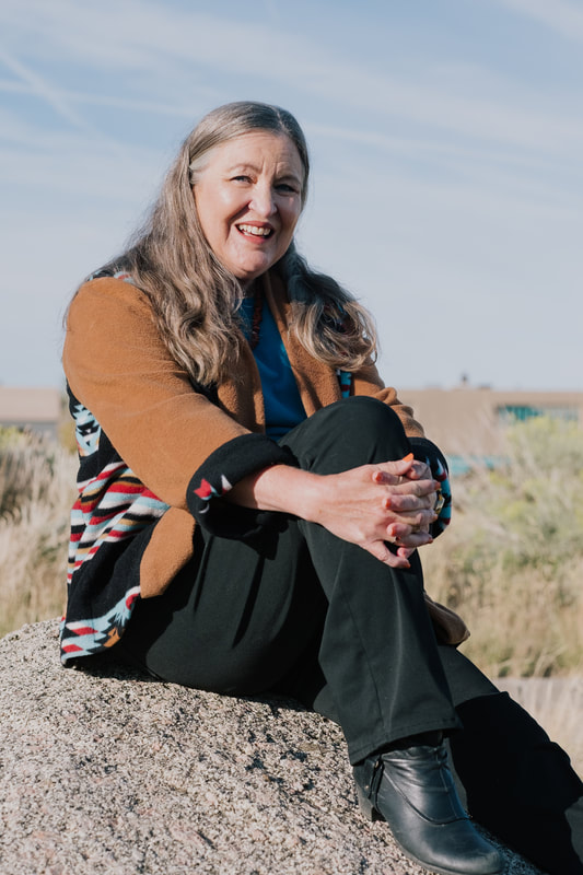
ABout Jennifer BohnhoffI am a former middle school teacher who loves travel and history, so it should come as no surprise that many of my books are middle grade historical novels set in beautiful or interesting places. But not all of them. I hope there's one title here that will speak to you personally and deeply. Categories
All
Archives
March 2025
|
